Places & towns
Use towns, gateways, and points of interest to read Maryland better.
This gateway brings together the roads, public lands, short walks, overlooks, and service base that make the surrounding landscape easier to use well.
Choose a base, match it to the season and weather, and let one or two strong stops teach the place properly.


Why places matter
Places are where region, season, habitat, and public-land knowledge turn into an actual day outside. Most trips start with a town, access corridor, trailhead, boardwalk, park entrance, or waterfront rather than an abstract map label. These guides help answer the practical question underneath species and habitat reading: where to go, how to start, and what kind of day a place supports once you arrive.
These guides are written in a field-reference style rather than a tourism style. The aim is to explain what a place is useful for, what landscapes it opens up, which outing types it serves best, and how its visitor points of interest connect to the surrounding habitats and public lands.
Use this department like this
- Choose a region.
- Open the matching Places page.
- Pick a base town or corridor.
- Use the listed visitor points of interest to shape the day.
- Then add a season, habitat, or field-skill page to refine what to look for.
Regional place guides
Choose the part of Maryland you want to use.
Regional places
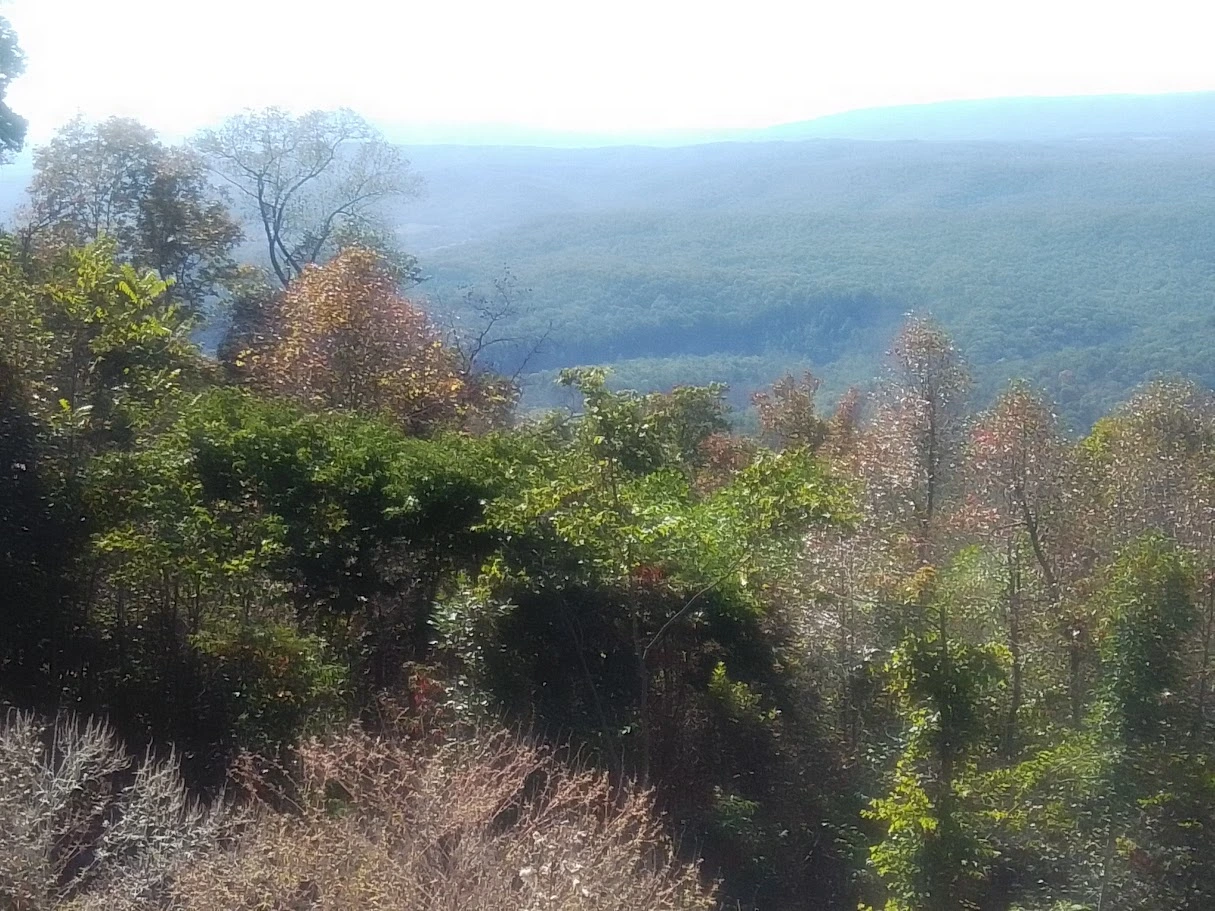
Western Mountains
Guide to western Maryland gateway towns, visitor points of interest, scenic routes, and practical base areas in the Western Mountains.
Regional places
Piedmont
Guide to Piedmont towns, scenic access points, parks, and visitor-oriented field destinations across Maryland’s rolling interior.
Regional places
Central Maryland
Guide to central Maryland gateway places, urban-edge nature access, and visitor points of interest that connect people to nearby habitat and public land.
Regional places
Chesapeake Bay
Guide to Chesapeake Bay towns, waterfront access points, marsh edges, and visitor places that make the Bay easier to experience and interpret.
Regional places
Southern Maryland
Guide to Southern Maryland towns, Bay and Potomac access points, and visitor-oriented places that connect history, shoreline, and field reading.
Regional places
Eastern Shore
Guide to Eastern Shore towns, marsh gateways, river communities, and visitor points of interest across Maryland’s broad low country.
Regional places
Atlantic Coast
Guide to Atlantic Coast gateways, beach towns, barrier-island access, and visitor points of interest on Maryland’s ocean-facing edge.
Flagship gateway pages
Start with named destination corridors.
Gateway
Oakland & Deep Creek Gateway
A cool-weather western base for waterfalls, lakeshore rhythm, and forest days.
Gateway
Cambridge & Blackwater Gateway
A flagship marsh gateway for broad low-country sky and serious wildlife days.
Gateway
Ocean City & Assateague Gateway
The clearest coastal gateway in Maryland, from managed resort edge to barrier-island wildness.
Gateway
Solomons & Calvert Cliffs Gateway
A strong Southern Maryland base for cliffs, shoreline, and family-scale Bay days.
Destination
Patuxent Research Refuge
A refuge-centered central-Maryland destination for slower wildlife study.
Destination
Jug Bay Wetlands Sanctuary
A tidal-fresh Bay margin destination that rewards patient marsh reading.