Regional places
Southern Maryland Places & Towns
Southern Maryland becomes easier to use when towns, access roads, scenic corridors, and public entry points are treated as parts of one travel pattern.
The strongest base is often the one that shortens travel, fits the season, and leaves enough time for a small number of strong stops.
How the area reads on the ground
Visitor points of interest matter here because they reveal how towns, roads, overlooks, launches, and short walks sit inside the larger landscape. A waterfront park can clarify tidal movement, a boardwalk can clarify marsh structure, and a quiet main street can make an overnight stop or early start much easier.
The best results usually come from keeping the day small: choose one base, one habitat type, and one or two strong stops rather than trying to cover the whole region at once.
Best uses
- Choose a base town for a two-day trip.
- Compare scenic versus practical access.
- Find calmer family entry points into the region.
- Pair towns with public lands and seasonal effects.
- Use visitor points of interest as observation anchors.
Prominent towns and base areas
Solomons
Excellent as a compact base town for water, museum stops, marsh edges, and lower-stress family exploration.
Leonardtown / St. Mary’s corridor
Works well for people interested in combining Bay and Potomac landscapes with smaller-town pacing.
Calvert Cliffs gateway areas
One of the strongest Southern Maryland destinations because cliffs, shoreline, woods, and visitor interest all overlap in a manageable way.
Point Lookout approaches
Useful when the goal is wind, horizon, migration timing, and the feeling of a narrowing landform meeting open water.
Visitor points of interest
The following points of interest are useful because they make the region legible, not merely famous. They tend to combine access, scenery, habitat clues, and practical visitor rhythm.
- Calvert Cliffs area
- Point Lookout
- museum and waterfront clusters
- marsh-edge access
- Potomac-facing scenic points
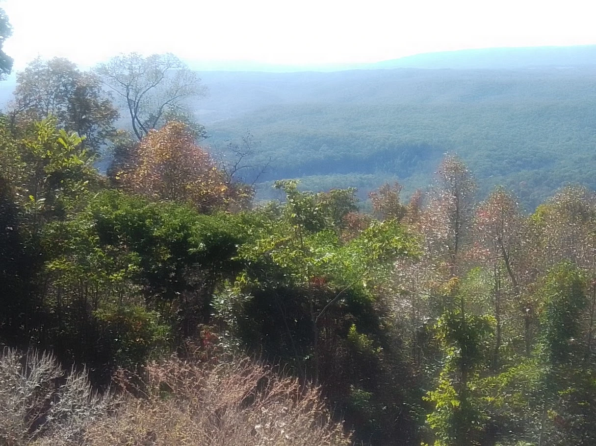
A point of interest should never be treated as the whole landscape. It is better understood as a doorway into the larger pattern — mountain weather, shoreline change, marsh transition, forest structure, or travel rhythm. Readers who keep that larger pattern in view will get much more value from a single stop.
Planning notes
When using this regional place layer, begin by deciding what kind of day you want. Is the goal a scenic first encounter with the region, a family-friendly loop, a photo outing, a birding morning, a mixed day of town and trail, or a quiet shoulder-season drive with short walks? The right town and point of interest depends heavily on that answer.
This is also where season pages become useful. A Bay town behaves differently in spring wind than in late-summer humidity. A mountain town becomes a different base when autumn color shifts, or when winter short light changes how much ground you can sensibly cover. Pairing place pages with seasons keeps the site honest and practical.