Habitat guide
Streams & Rivers
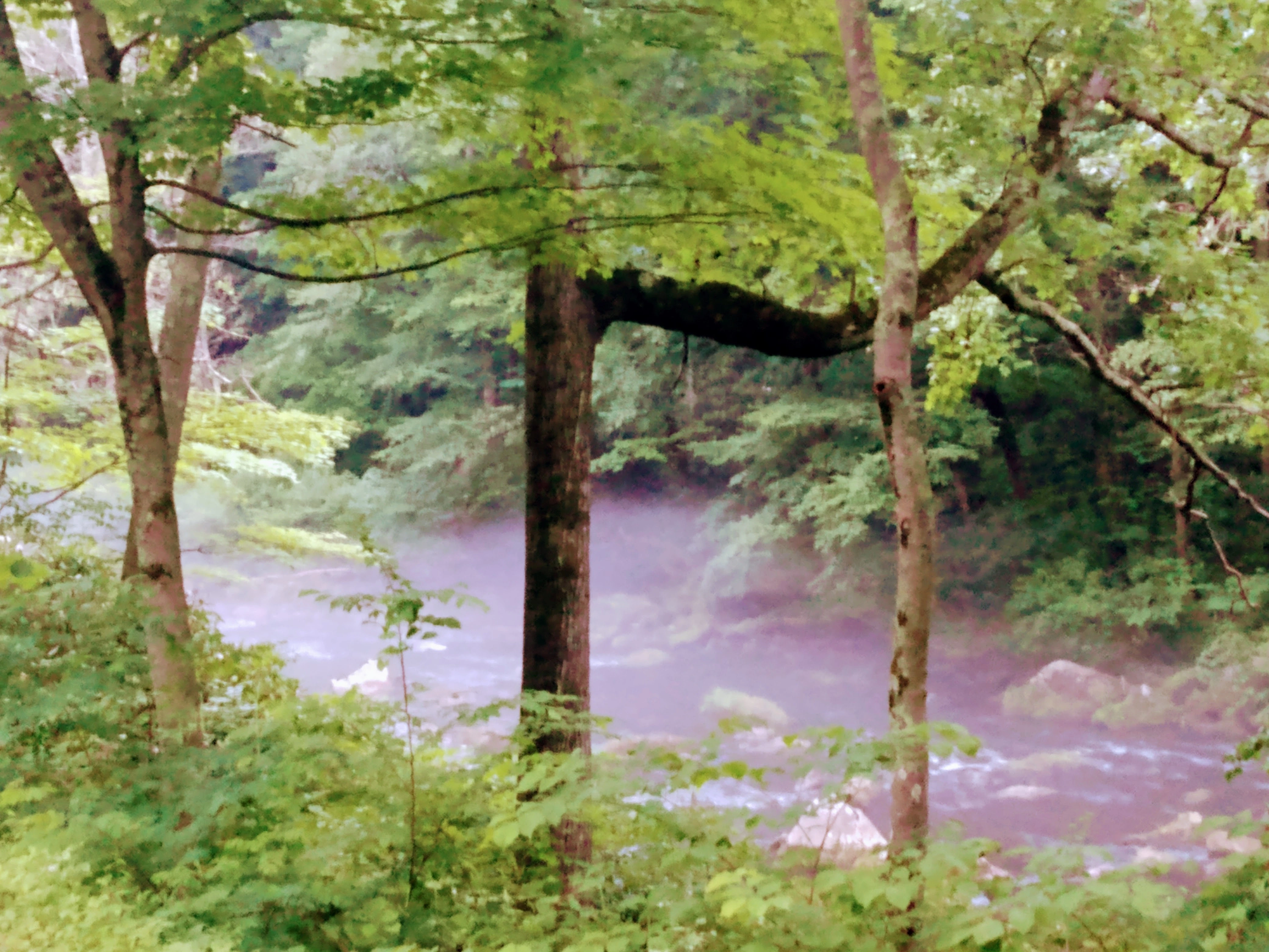
Running water may be the easiest habitat to read in western Maryland. Flow, shade, riffles, pools, undercut banks, and floodplain edges all change what wildlife can live there and how visitors experience the corridor.
Reviewed by
Reviewed by Michael Deem
Michael Deem is the editorial lead for Maryland Wilderness. His background includes a decade of wildlife damage control experience, private-applicator work beginning in 2007, and practical entomology knowledge that informs pages about attractants, insects, edges, structures, and seasonal wildlife use.
Pages are reviewed for Maryland specificity, field usefulness, outing realism, and practical wildlife prevention value.
Maryland Wilderness blends field interpretation, outing planning, and public-information prevention guidance. Confirm regulations, closures, permits, and case-specific wildlife-control decisions with the relevant authority, land manager, or licensed professional before acting.
What to notice
Look at the whole corridor. Fast shallow riffles oxygenate water, deeper pools offer holding cover, woody debris slows current, and tree shade helps keep small streams cooler through summer.
Cold water vs. larger rivers
Not all flowing water does the same job. Small forested tributaries often matter most for brook trout and aquatic insects, while larger rivers and broad stream valleys create travel corridors, feeding edges, and recreation access.
Read the corridor, not just the channel
Streams connect whole landscapes
A useful field question
Ask what the bank is doing. Bare eroding banks, heavy sediment, missing tree cover, and warm shallow water often signal stress. Stable banks, overhanging cover, gravel, and mixed current usually point toward a healthier system.
Where to explore this habitat
Savage River country, the Youghiogheny corridor, mountain tributaries, and the Potomac drainage all show different versions of western Maryland flowing water.
Learn more